


Verification Required
Persian Gulf
Experience the vibrant coastal cities and vast deserts in stunning detail

DCS: Persian Gulf
Requires DCS World version 2.5.2 or above!
Minimum system requirements (LOW graphics settings): OS 64-bit Windows 10; DirectX11; CPU: Intel or AMD 3.0Ghz+ with 4+ cores; RAM: 16 GB; Free hard disk space: 200 GB; Discrete video card NVIDIA/AMD 6GB; requires internet activation.
Recommended system requirements (HIGH graphics settings): OS 64-bit Windows 10/11; DirectX11; CPU: Intel or AMD 4.5Ghz+ with 8+ cores; RAM: 32+ GB ; Free hard disk space: 500 GB on Solid State Drive (SSD) + extra space for paid content ; Discrete video card NVIDIA/AMD with 8GB+ VRAM; Joystick / Pedals; requires internet activation.
Recommended VR systems requirements (VR graphics settings): OS 64-bit Windows 10; DirectX11; CPU: Intel or AMD 4.5Ghz+ with 8+ cores; RAM: 32+ GB; Free hard disk space: 500 GB on Solid State Drive (SSD); Discrete video card NVIDIA/AMD from 16GB+ VRAM; Joystick / Pedals / VR; requires internet activation.
This product can be downloaded and installed through the DCS World Module Manager. If you do not have DCS World installed, you can download the DCS World web-installer by clicking this link.
The DCS: Persian Gulf Map for DCS World focuses on the Strait of Hormuz, the strategic choke point between the oil-rich Persian Gulf and the rest of the world. Flanked by Iran to the north and western-supported UAE and Oman to the south, this region has been one of the world’s most dangerous flash points for decades. In 1988, it was the location of Operation Praying Mantis, in which U.S. forces sank or damaged several Iranian naval vessels, and destroyed two armed Iranian oil platforms.
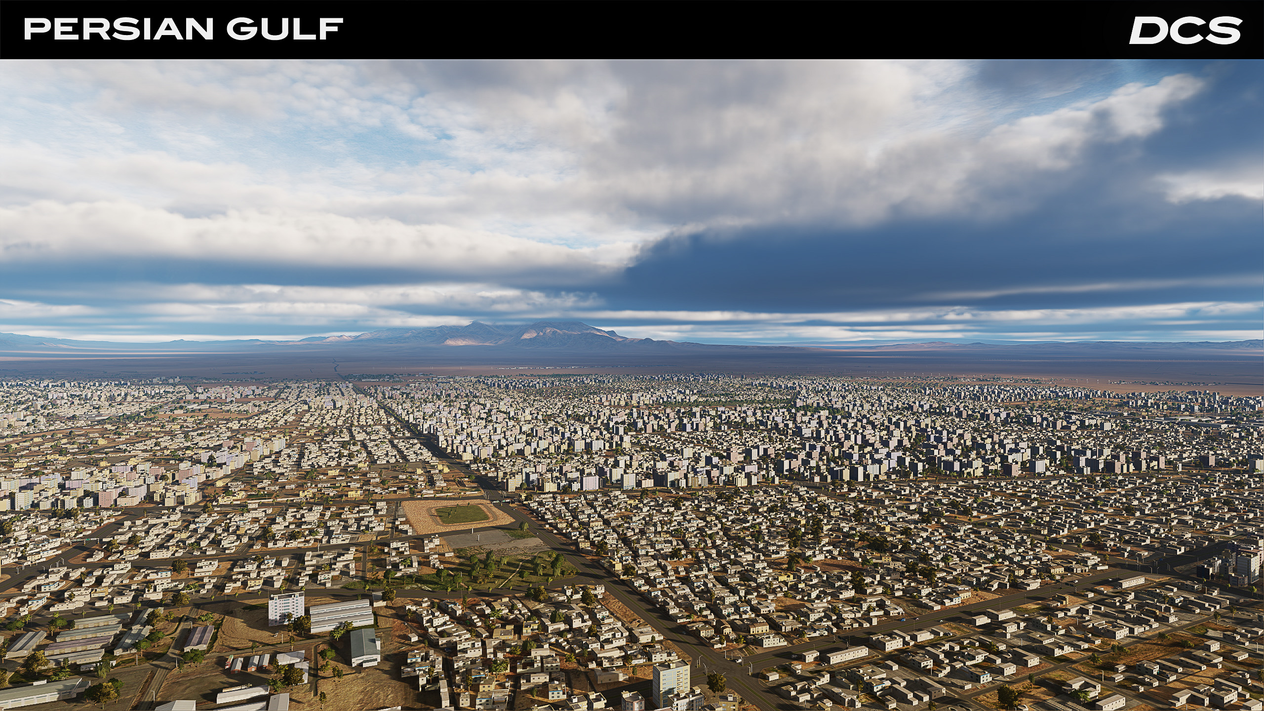
Featuring southern Iran including the major naval port of Bandar Abbas, the map also includes Qeshm Island, northern Oman and large stretches of heavily-contested sea that are well-suited for combat aircraft carrier operations. Covering 77,220 square miles, the map is roughly the size of Nebraska - or slightly under a third the size of Texas. From land bases in Iran, the UAE and Oman or from the deck of an aircraft carrier, the DCS: Persian Gulf Map offers a wide range of realistic and thrilling combat missions in which to prove your mettle.
Key Features:
- 200,000 sq km highly detailed map area that centers on the Strait of Hormuz.
- As part of DCS World 2.5, this map includes highly detailed terrain, textures, seas, and buildings.
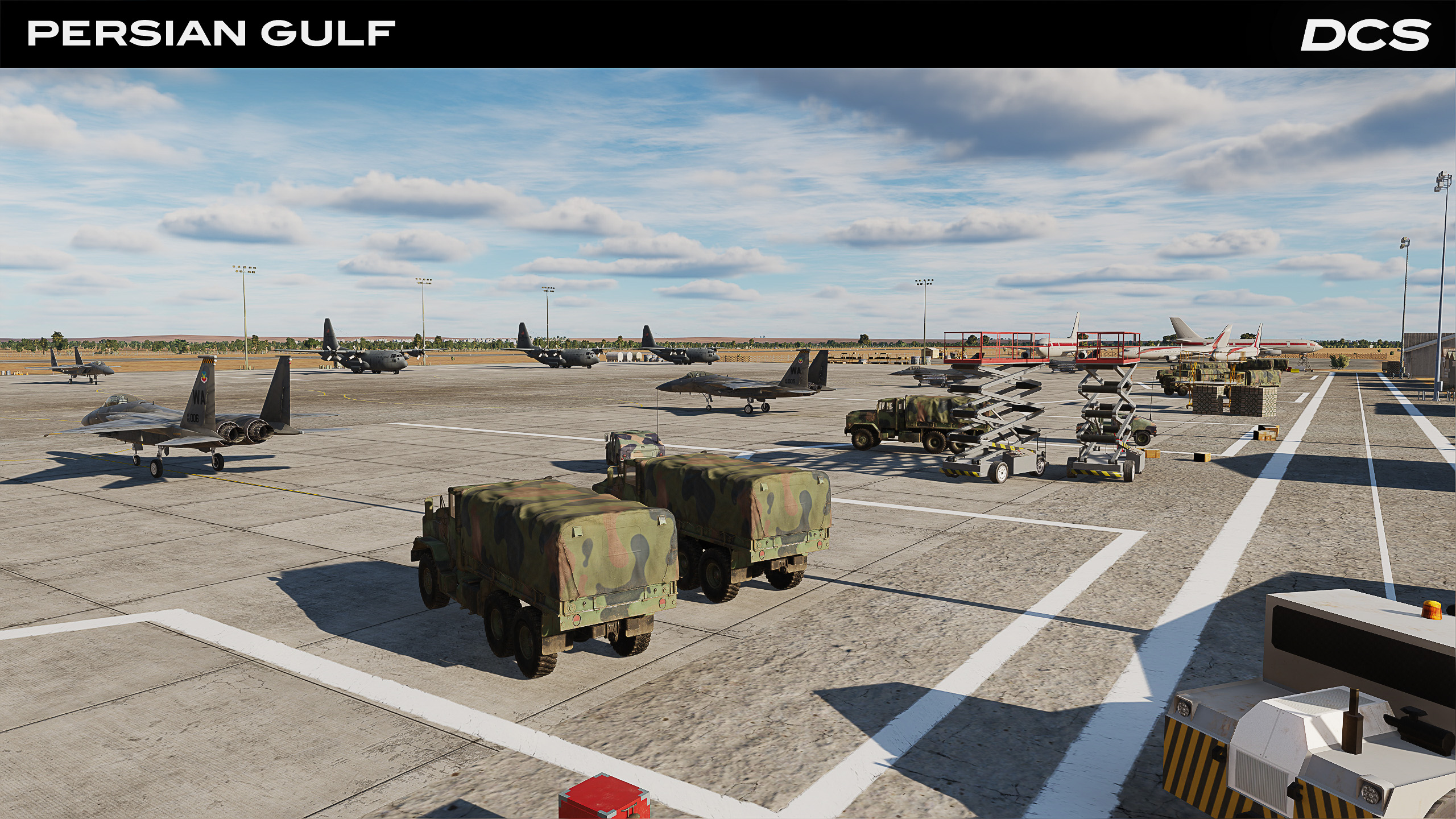
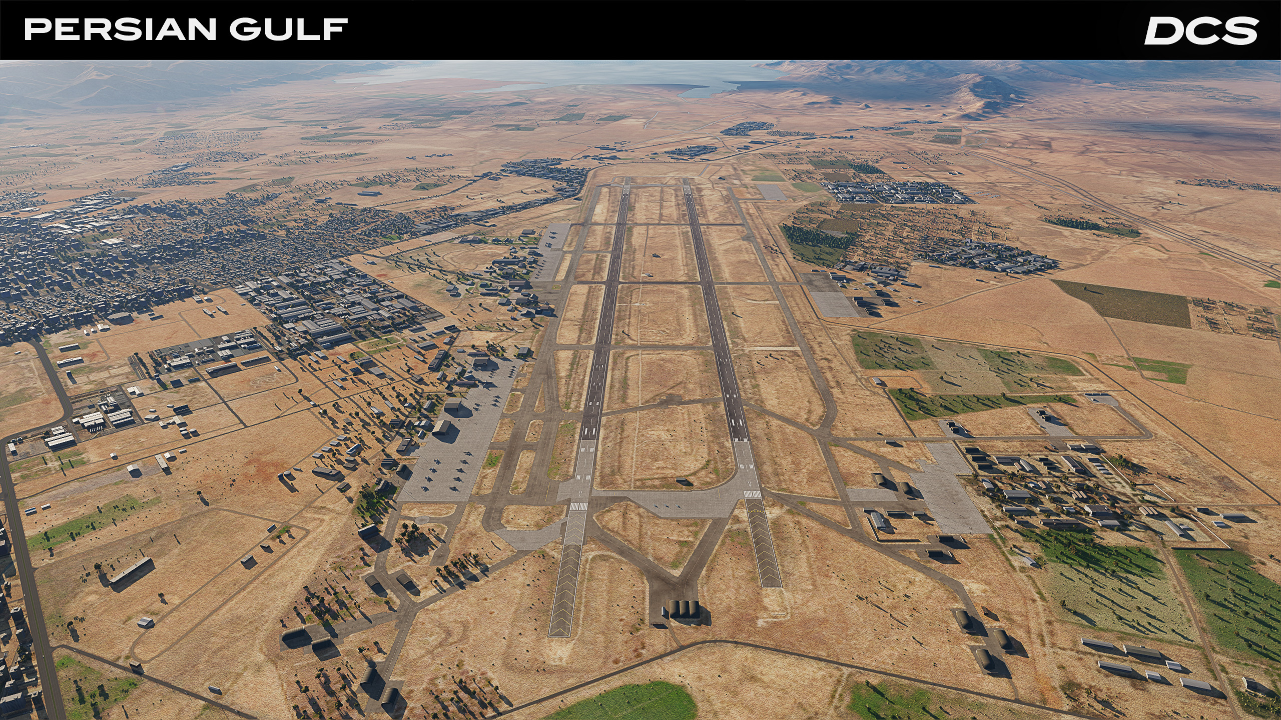
- 13 accurately created airbases in Iran, the UAE and Oman. Airbases include a variety of landing aids that can include TACAN, VASI lights, realistic approach lights, and VOR.
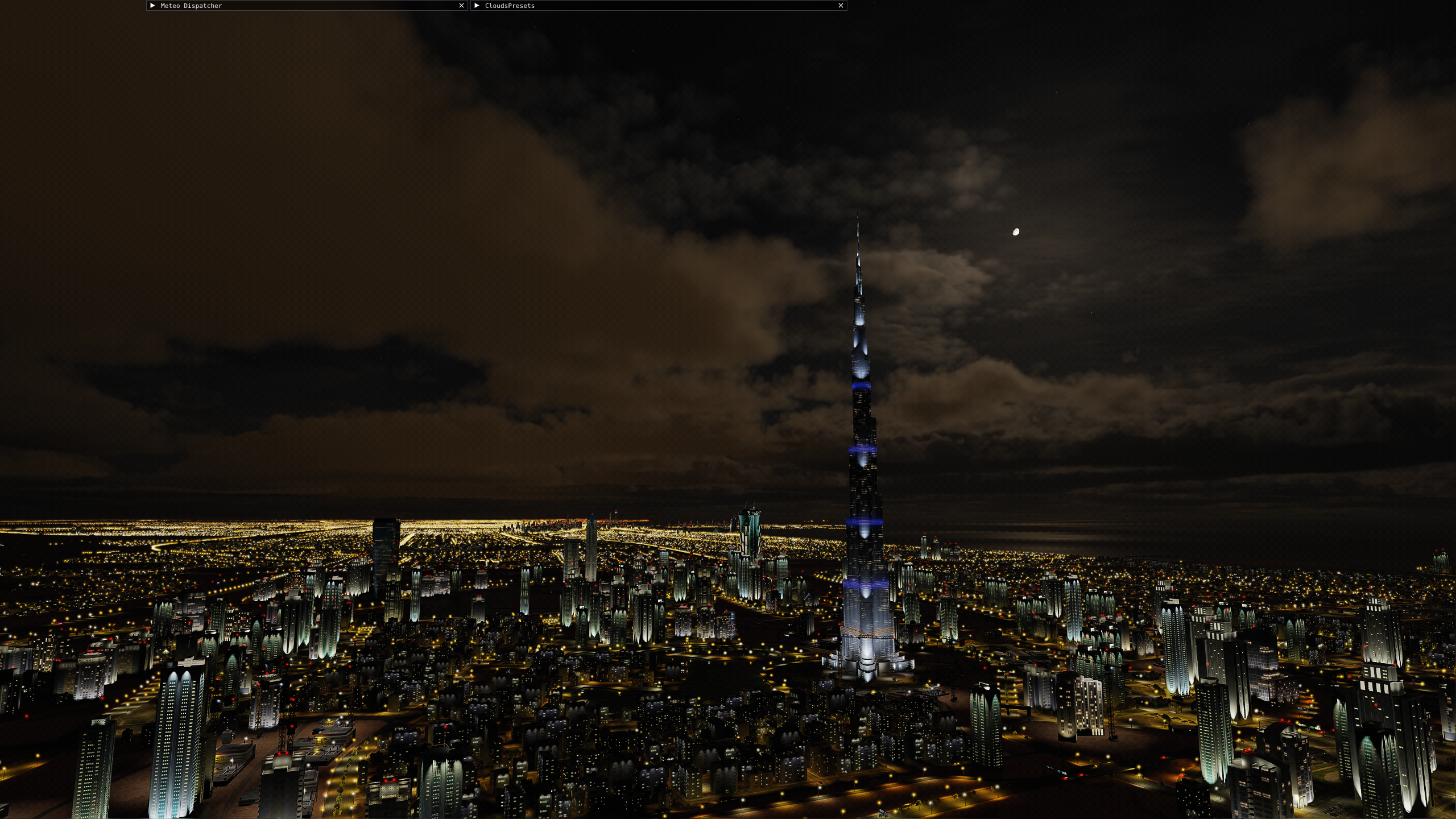
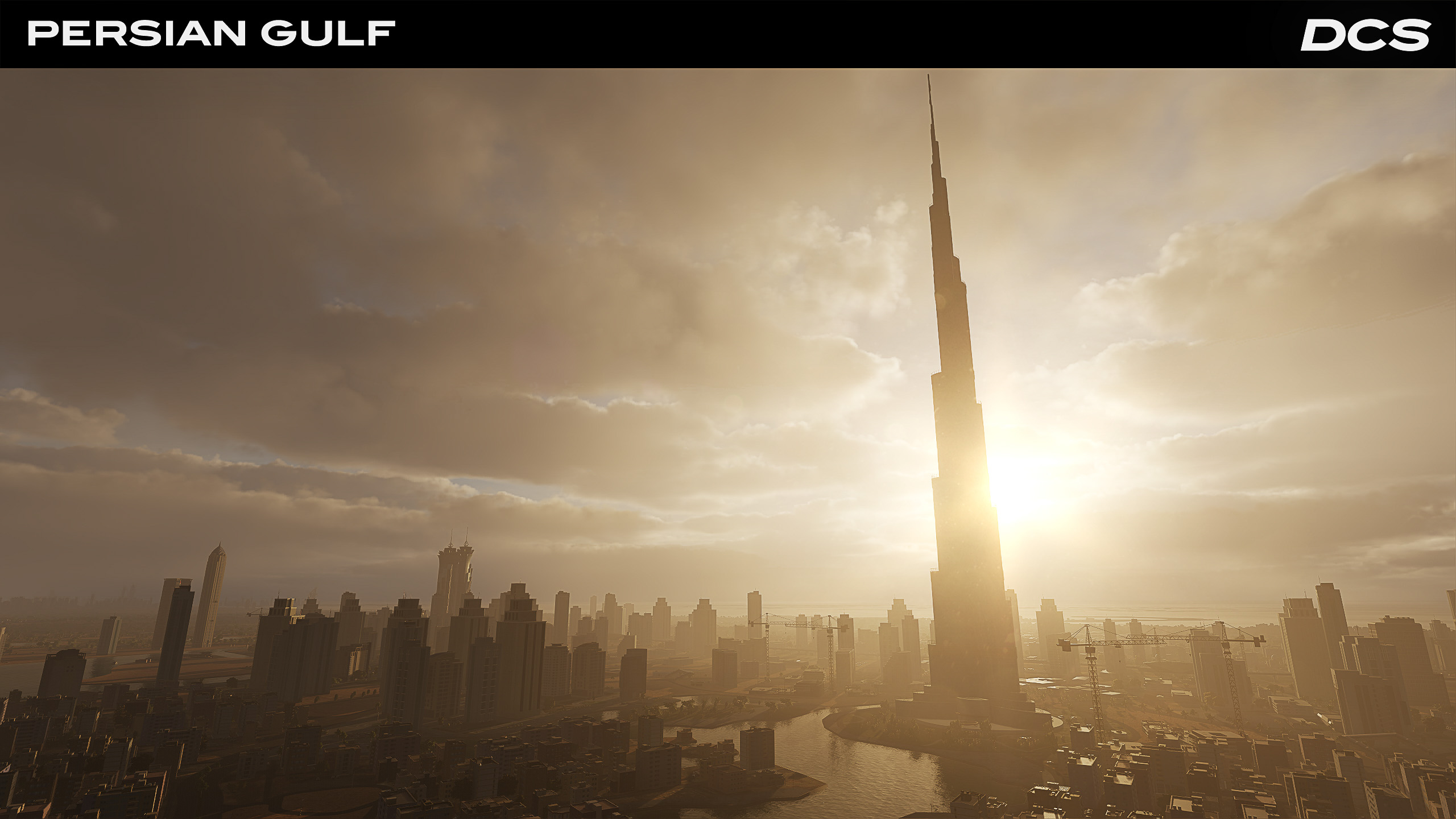
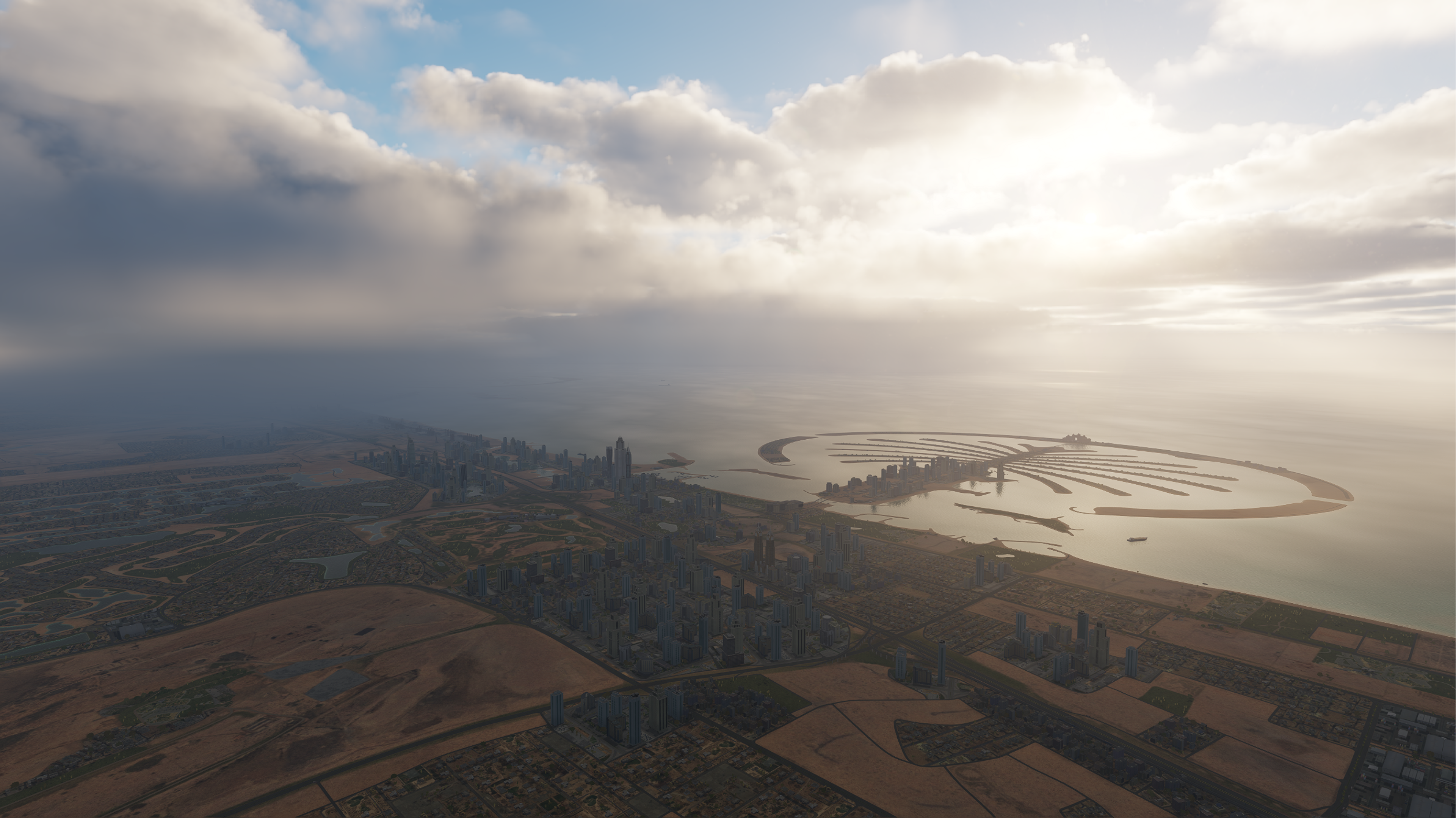
- Detailed cities such as Dubai, Abu Dhabi, and Bandar Abbas with unique buildings.
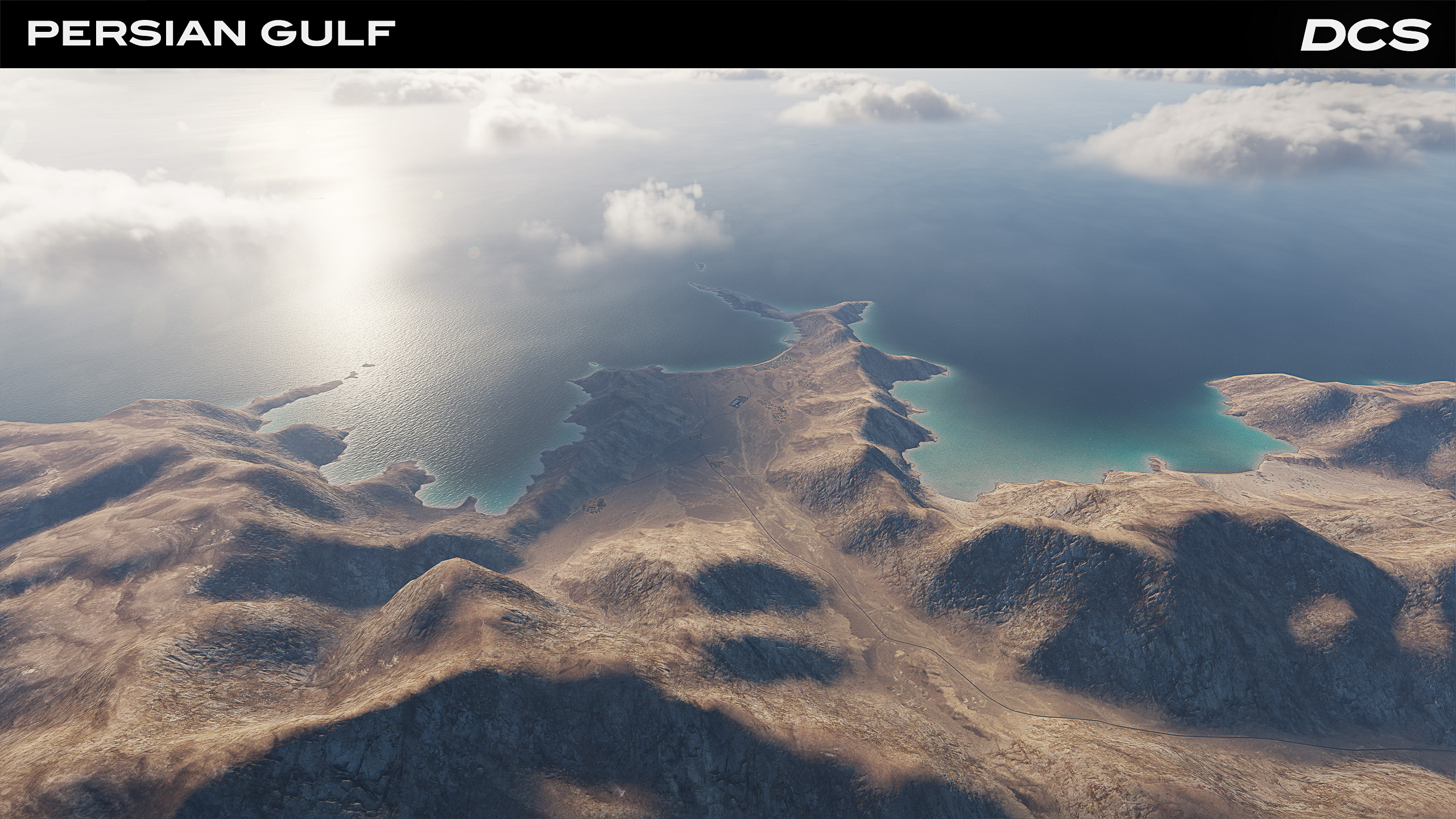
- "Strong Hold" islands such as Abu Musa, Siri, and the Tunb islands.
- Iran, the UAE and Oman will be added to the list of DCS World nations.
- Unique trees, bushes, grass and other vegetation using speedtree technology.
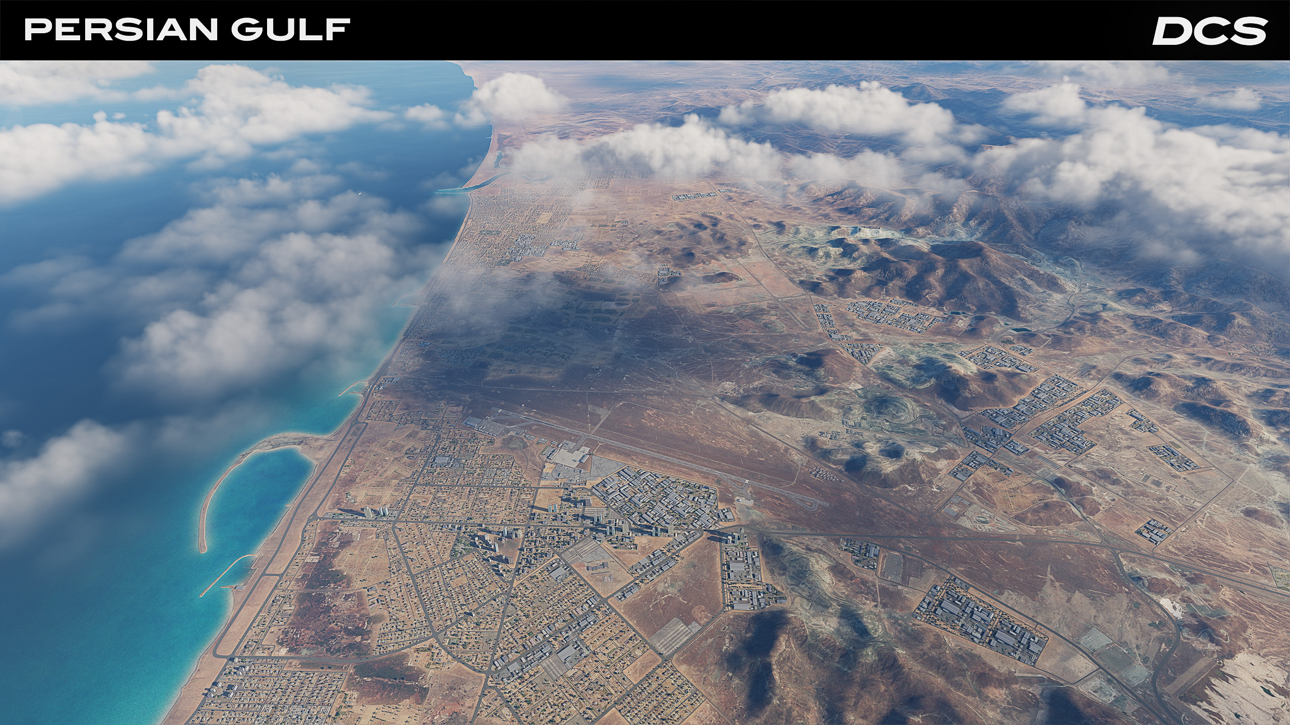
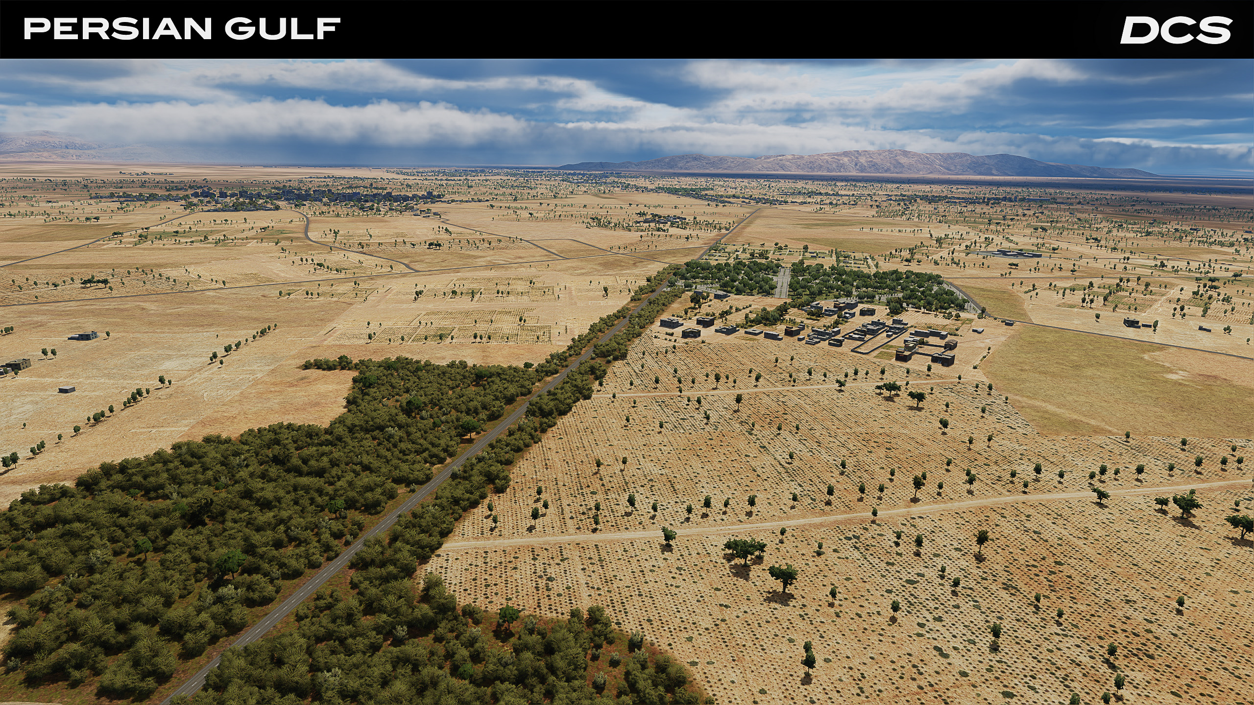
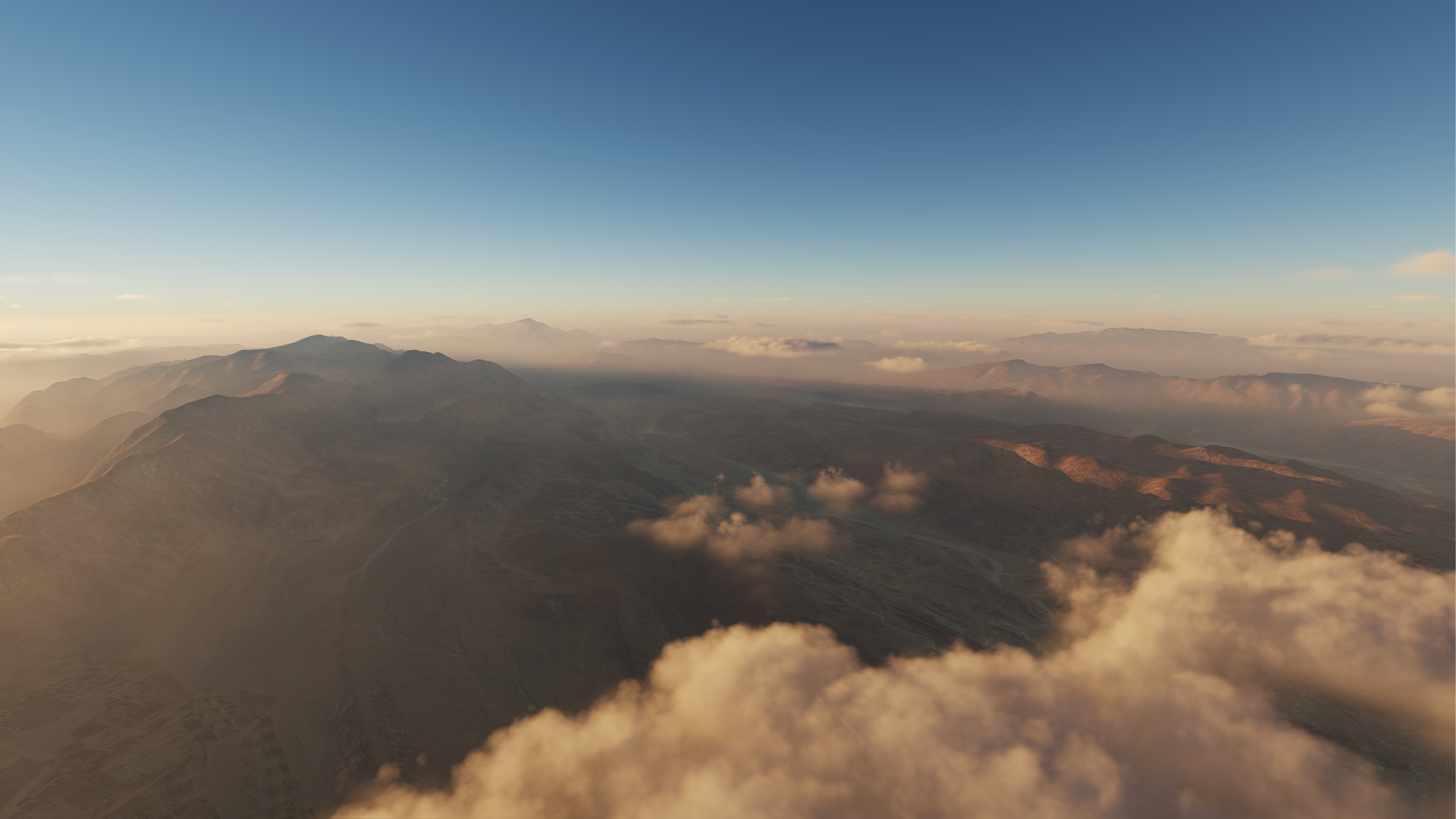
- Varied terrain from towering mountains and valleys to desert plains.
- New Iranian liveries
Ultra-Realistic Terrain
Detailed coastlines, islands, and cities enhance mission immersion.
Diverse Climate Zones
Weather and climate variations for enhanced realism and tactical depth.
Strategic Naval Pathways
Conduct carrier ops and naval strikes in a crucial maritime corridor.
Historical & Modern Conflicts
Recreate real-life operations or design hypothetical campaigns.
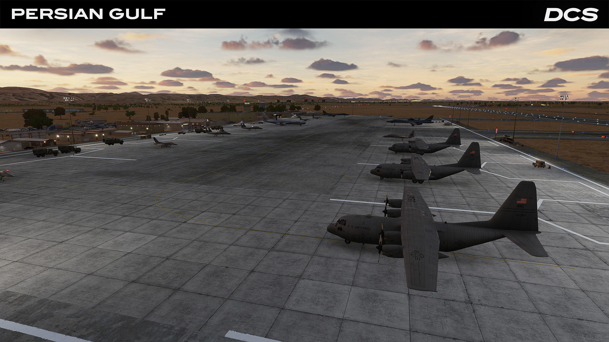
Al Dhafra Air Base
One of the region’s major military airfields with advanced systems and long runways.
Bandar Abbas Intl
A critical airport with commercial and strategic military significance near key naval routes.
Dubai Intl
Sprawling commercial hub adding realism to civilian traffic and urban missions.
Strait of Hormuz
The narrow passage for oil tankers and naval fleets, ideal for carrier-based ops.
Related
Enhance your experience with additional modules, campaigns, or asset packs.


